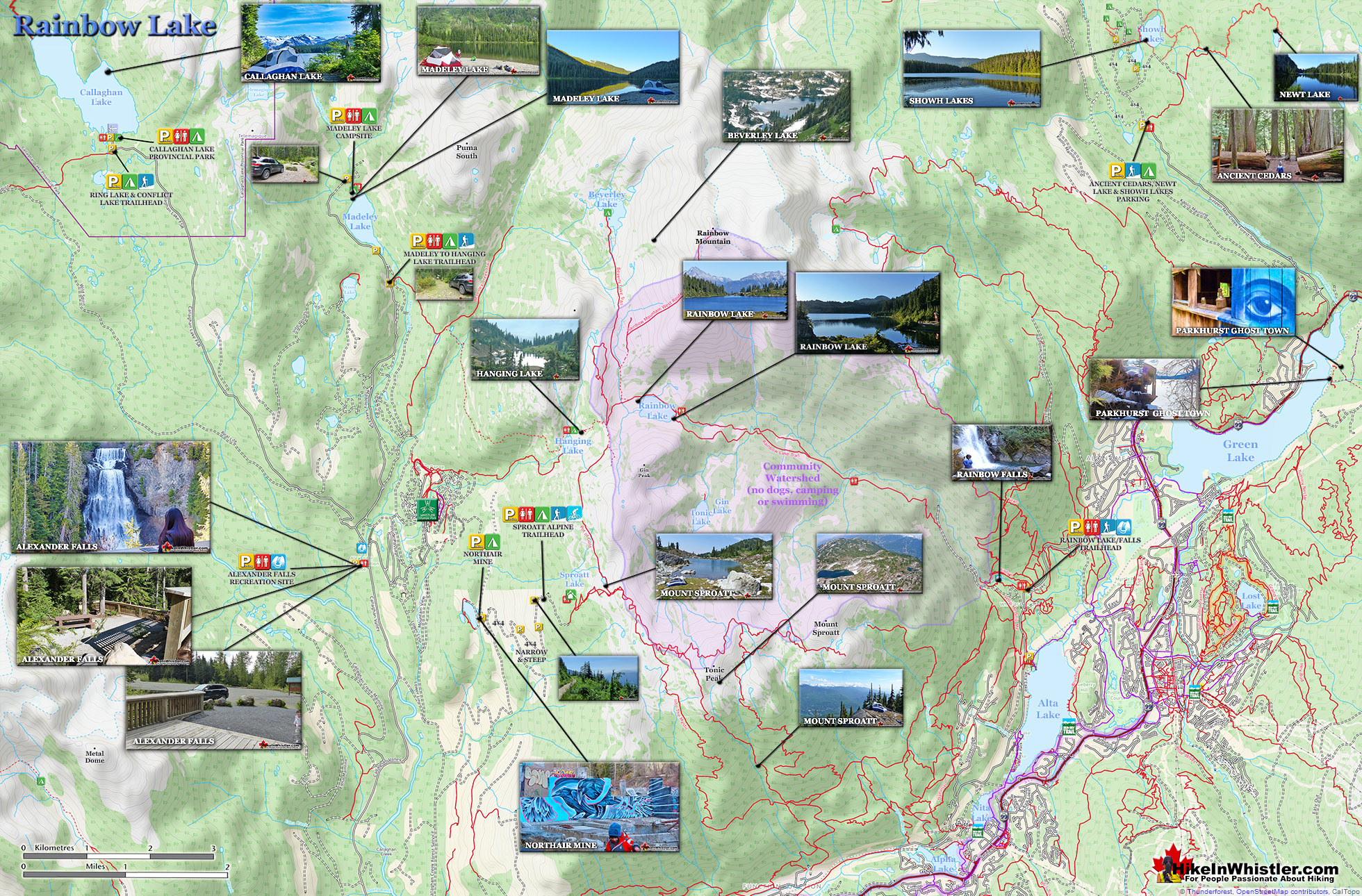
![]() The Rainbow Trail is a convenient and popular trail near Whistler Village that takes you to Rainbow Lake as well as the Flank Trail, Rainbow Falls, Hanging Lake, Madeley Lake, Beverley Lake, Rainbow Mountain... and even Whistler Olympic Park if you are determined. It is a consistently uphill and very beautiful trail with several water (bridge) crossings and waterfalls on the way to the picture-perfect lake.
The Rainbow Trail is a convenient and popular trail near Whistler Village that takes you to Rainbow Lake as well as the Flank Trail, Rainbow Falls, Hanging Lake, Madeley Lake, Beverley Lake, Rainbow Mountain... and even Whistler Olympic Park if you are determined. It is a consistently uphill and very beautiful trail with several water (bridge) crossings and waterfalls on the way to the picture-perfect lake.
 Quiet trail compared to other Whistler trails
- Trails continue past the lake to other lakes
- Stunning views of Blackcomb & Whistler mountains
- Continuing trail/route to Rainbow Mountain
- The alpine hiking options(eg: Sproatt) are incredible
- The huge erratics at the lake are perfect for suntanning
 No camping, fishing or swimming allowed
- Trail is sometimes scenic, but often in deep forest
- Tour companies often fly over spoiling the serenity
- Dogs not allowed due to being Whistler's water source
There are a few views of the valley across to Whistler Mountain, Blackcomb Mountain, and Wedge Mountain. Few views, though fantastic. Rainbow Lake itself is in a gorgeous alpine valley with branching trails that extend further beyond the lake in at least three directions. Along with the waterfalls, bridge crossings and valley views, the Rainbow Trail passes through deep forest with some impressively huge trees. Plenty of birds can be heard and seen along the trail and though black bears frequent the area, they are infrequently spotted due to their migration down into the valley. Cougars are also known to roam around this area, though also rarely spotted. As recently as 2014 signs of cougar activity were identified on the Flank Trail near where it branches off from the Rainbow Trail. The Rainbow Trail has a small side trail that takes you to Rainbow Falls. Not far from the trailhead, the small Rainbow Falls sign is easily missed.
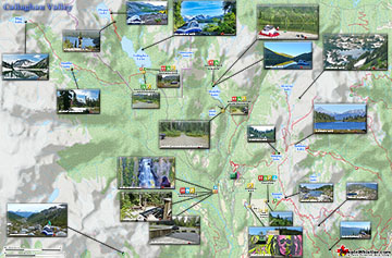
Rainbow Lake Hiking Trail Map
It is located about five minutes into the Rainbow Trail and your best bet to find it is to keep bearing right along the first couple trail branches. Don't worry about getting lost here though as all the trails reconnect further along the trail when you briefly exit the forest at the water treatment building. Unfortunately, Rainbow Lake is the water supply for Whistler, so you cannot swim, fish or camp near the lake. There is decent camping available nearby at Hanging Lake as well as Beverley Lake in the direction of Rainbow Mountain.

Hanging Lake and Beverley Lake
Hanging Lake is a bit dark and swampy as compared to the spectacular camping at Beverley Lake which is a tough but rewarding hike beyond Rainbow Lake. Beverley Lake is reached by following the trail toward Rainbow Mountain. About 40 minutes into this trail the trail markers will stop as it ascends up into an extensive boulder field towards Rainbow Mountain. To reach Beverley Lake, bear left of the route to Rainbow Mountain and follow the valley. Beverley Lake is about an hours hike from Rainbow Lake. To get even further from the world, hike the partly marked trail to Beverley Lake. The first kilometre is well worn and easy to follow as this is also a somewhat popular trail to reach the summit of Rainbow Mountain. The Rainbow Mountain trail veers right and quickly ascends through massive boulders. If you instead bear left and stay in the valley you will reach this fantastically remote lake. You will be a bit disheartened, however, when you arrive at the lake and see a picnic table. It's very out of place, evidently put there by some helicopter tour company. Other than the weird picnic table there are no signs of humanity, and no restrictions on camping as you have at Rainbow Lake.


More Rainbow Lake Hiking Info...
More Whistler & Garibaldi Park Hiking Maps!
Panorama Ridge Maps
Meager Hot Springs Maps
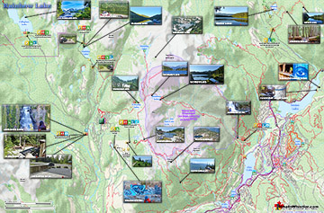
Rainbow Lake Maps
Alexander Falls Maps

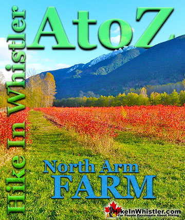
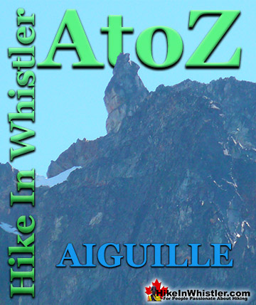
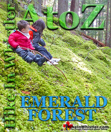
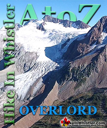
Whistler & Garibaldi Park Glossary A to Z

The Best Whistler & Garibaldi Park Hiking Trails!