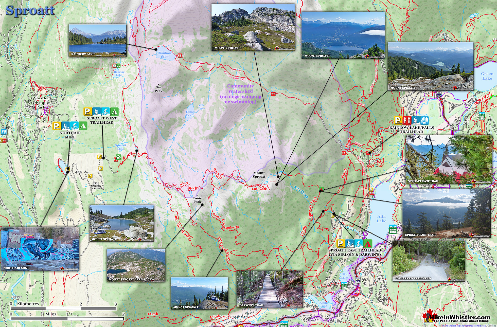
Mount Sproatt, or as it is known locally as just Sproatt, is one of the many towering mountains visible from Whistler Village. Above and beyond Alta Lake, directly across from Whistler Mountain and Blackcomb Mountain, you will see this quiet giant. Its unremarkable appearance hides the growing network of trails that stretch through some startlingly beautiful terrain.
Multiple trailheads & access points
Wild, hostile terrain rarely visited by humans
Connecting trails to Rainbow, Hanging & Madeley
No crowds & endless idyllic tarns to swim
Dozens of perfect spots for a tent
Vast terrain full of adventurous routes
Dog friendly, unlike most Whistler trails
Easy to get lost in the vast alpine
No grand turquoise lakes like Wedge
Need a 4x4 to get to the Callaghan trailhead
Next time you walk through Whistler Village and cross the pedestrian bridge(with Village Gate Boulevard below you), you will see Mount Sproatt in the distance. It is the rocky giant, abruptly steep on one end and gently sloping on the other. At its summit you may be able to make out the small weather recording structure. What you can't see from Whistler Village is the extraordinarily beautiful alpine paradise that lays beyond it. Lakes and tarns everywhere you look. Fields of alpine flowers and wonderfully mangled, yet strikingly beautiful forests of krummholz. Hostile looking fields of boulders and absurdly placed erratics the size of trucks. Beyond, of course, endless stunning view of distant, snowy mountains. From the towering elevation of much of the Sproatt trail network you look across or even down on distant mountains. Rainbow Mountain looks incredible from much of the trail. Four teeth-like, jagged grey peaks in a row that face you from Rainbow Mountain, just 5 kilometres away look enormous.
Sproatt West(Northair) Trail Map
A couple kilometres closer you spot Hanging Lake and the Lord of the Rings style valley that stretches 2 kilometres from its shores to the abrupt cliffs at your feet. Several times along the trail you see the clearly defined ski runs on Whistler Mountain and Blackcomb Mountain and once in a while you can spot Alta Lake and Whistler Village. Though a hive of snowmobile and ski/riding activity in the winter and spring, Sproatt is infrequently hiked in the summer.
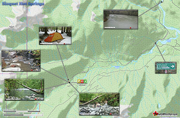
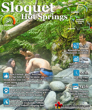
Sloquet Hot Springs is a wonderfully wild set of shallow, man-made pools fed by a small, all natural, and very hot, waterfall. The pools stretch from the waterfall to the ...
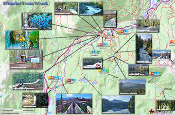
The trail to Whistler Train Wreck is an easy, yet varied route through deep forest, across a great suspension bridge over Cheakamus River, to a stunning array of wrecked ...
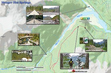
Meager Hot Springs(aka: Meager Creek Hot Springs) is located 93 kilometres northwest of Whistler, was beautifully developed into gorgeous pools, with a caretaker and usage ...
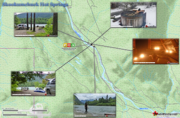
Skookumchuck Hot Springs(aka T'sek Hot Springs and St. Agnes Well), located two hours north of Whistler along the edge of the huge Lillooet River. The name Skookumchuck ...
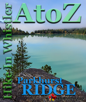
Parkhurst Ridge is an incredible place for a lot of reasons. Of course, the view is spectacular with Green Lake's absurdly vivid green coloured water. ...
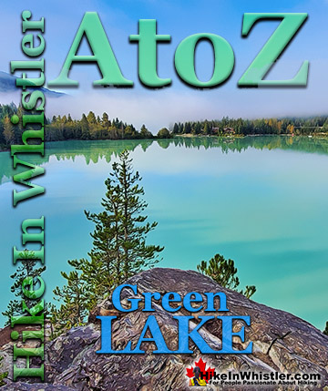
Green Lake is the marvellously vivid, green coloured lake just north of Whistler Village. Driving north on the Sea to Sky Highway, Green Lake appears ...
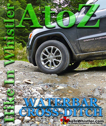
Waterbar and Cross-Ditch: the purpose of a waterbar or cross-ditch is to capture and redirect surface water from the road and channel it across the road ...
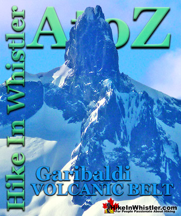
The Garibaldi Volcanic Belt is a line of mostly dormant stratovolcanoes and subglacial volcanoes largely centred around Whistler and extending through much ...
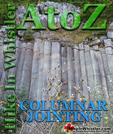
Columnar Jointing: bizarre looking columns of oddly angular rock formations that can be found in many places around Whistler and worldwide. Generally ...
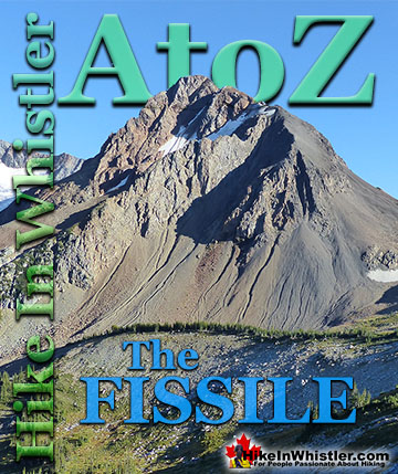
The Fissile is the stunning Matterhorn-looking mountain that is visible from Village Gate Boulevard in Whistler. Looking up from Village Gate you will see ...
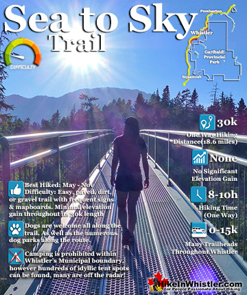
The Sea to Sky Trail is a 180 kilometre multi-use trail that runs from Squamish to D'Arcy. The trail is still under construction in many parts, however, the amazing route through Whistler is finally in ...
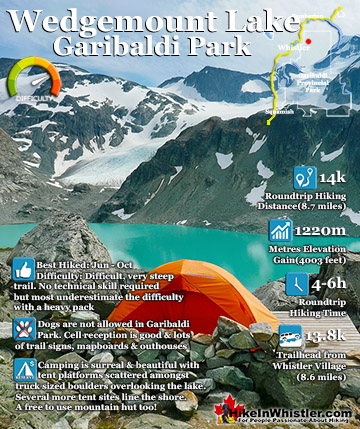
Wedgemount Lake itself is a magnificent destination for a day hike or spectacular overnight beneath the dazzling mountain peaks and stars above Garibaldi Provincial Park. Many sleep under the stars on one of ...
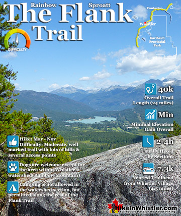
Hiking and biking trails are so abundant in Whistler that many go unnoticed, neglected or taken for granted. The Flank Trail is one of these. Most people in Whistler don't even know about it, but the ones ...
Sloquet Hot Springs is a wonderfully wild set of shallow, man-made pools fed by a small, all natural, and very hot, waterfall. The pools stretch from the waterfall to the large and crashing Sloquet River. The ...
 Multiple trailheads & access points
 Easy to get lost in the vast alpine