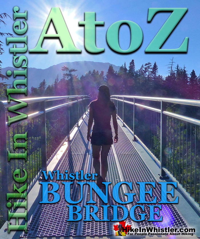
![]() Whistler Bungee Bridge, also known as the Cheakamus Bungee Bridge is a very convenient and beautiful attraction on the way to or from Whistler from Vancouver. Just 20 minutes south of Whistler Village on the Sea to Sky Highway, then just a 3 kilometre logging road takes you right to the stairs up to this amazing bridge. Open year-round and surprisingly accessible, even in the snowy winter months. Thousands of cars drive the Sea to Sky Highway past the turnoff to this wonderful bridge every day and never take a look.
Whistler Bungee Bridge, also known as the Cheakamus Bungee Bridge is a very convenient and beautiful attraction on the way to or from Whistler from Vancouver. Just 20 minutes south of Whistler Village on the Sea to Sky Highway, then just a 3 kilometre logging road takes you right to the stairs up to this amazing bridge. Open year-round and surprisingly accessible, even in the snowy winter months. Thousands of cars drive the Sea to Sky Highway past the turnoff to this wonderful bridge every day and never take a look.
Whistler & Garibaldi Hiking
![]() Alexander Falls
Alexander Falls ![]() Ancient Cedars
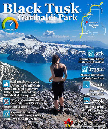
Ancient Cedars ![]() Black Tusk
Black Tusk ![]() Blackcomb Mountain
Blackcomb Mountain ![]() Brandywine Falls
Brandywine Falls ![]() Brandywine Meadows
Brandywine Meadows ![]() Brew Lake
Brew Lake ![]() Callaghan Lake
Callaghan Lake ![]() Cheakamus Lake
Cheakamus Lake ![]() Cheakamus River
Cheakamus River ![]() Cirque Lake
Cirque Lake ![]() Flank Trail
Flank Trail ![]() Garibaldi Lake
Garibaldi Lake ![]() Garibaldi Park
Garibaldi Park ![]() Helm Creek
Helm Creek ![]() Jane Lakes
Jane Lakes ![]() Joffre Lakes
Joffre Lakes ![]() Keyhole Hot Springs
Keyhole Hot Springs ![]() Logger’s Lake
Logger’s Lake ![]() Madeley Lake
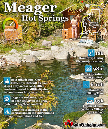
Madeley Lake ![]() Meager Hot Springs
Meager Hot Springs ![]() Nairn Falls
Nairn Falls ![]() Newt Lake
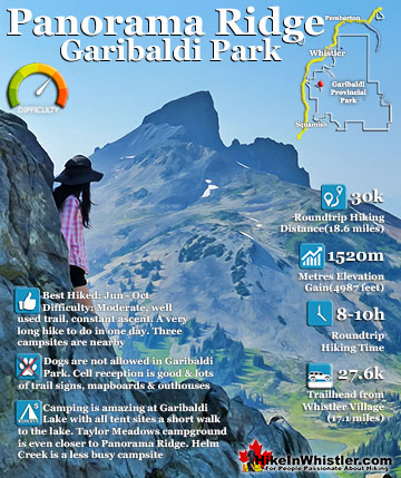
Newt Lake ![]() Panorama Ridge
Panorama Ridge ![]() Parkhurst Ghost Town
Parkhurst Ghost Town ![]() Rainbow Falls
Rainbow Falls ![]() Rainbow Lake
Rainbow Lake ![]() Ring Lake
Ring Lake ![]() Russet Lake
Russet Lake ![]() Sea to Sky Trail
Sea to Sky Trail ![]() Skookumchuck Hot Springs
Skookumchuck Hot Springs ![]() Sloquet Hot Springs
Sloquet Hot Springs ![]() Sproatt East
Sproatt East ![]() Sproatt West
Sproatt West ![]() Taylor Meadows
Taylor Meadows ![]() Train Wreck
Train Wreck ![]() Wedgemount Lake
Wedgemount Lake ![]() Whistler Mountain
Whistler Mountain
![]() January
January ![]() February
February ![]() March
March ![]() April
April ![]() May
May ![]() June
June ![]() July
July ![]() August
August ![]() September
September ![]() October
October ![]() November
November ![]() December
December
With so many sights on the Sea to Sky Highway to see, the Whistler Bungee Bridge is one of the best and certainly one of the most convenient to check out. Part of the fantastic Sea to Sky Trail, the Bungee Bridge in fact it redirected the trail from the now alternate route across the Cal-Cheak suspension bridge. The Sea to Sky Trail is a 180 kilometre walking, hiking, biking, snowshoeing, cross country skiing trail, cuts right through Whistler. This non-motorized, multi-use trail extends from Squamish, through Whistler, north through Pemberton and all the way to D'Arcy. Pieced together over the years, the Sea to Sky Trail saw a frenzy of construction recently and is now complete throughout Whistler. If you measure from Brandywine Falls Provincial Park, south of Whistler to WedgeWoods Estates near the Wedgemount Lake trailhead, the trail runs over 33 kilometres. And the wonderful, and almost unbelievable thing about this 33 kilometres, is that it has only one road crossing where you have to check for cars. The entire route is dirt, gravel or paved trails that weave through the spectacular forest that surrounds Whistler.
Driving or Biking to Whistler Bungee Bridge
Driving directly to the Bungee Bridge is, of course, one of several ways to get there. Another great way to see it is by foot or bike via Brandywine Falls Provincial Park. Roundtrip to the Whistler Bungee Bridge and back is just 6 kilometres and can take less than two hours. Brandywine Falls, though extremely popular in the summer and fall months, hides behind a massive, snowplow formed, wall of snow from (usually) December to March. The gate to the parking lot is closed and buried. Attempting to hike to the falls on foot is tough as you find yourself thigh deep in snow right from the start. But if you have snowshoes this trail becomes a winter paradise. The snowplows intentionally clear a winter parking area for the park near the snow buried gate. You just have to scramble over the mountain of snow, cross the parking lot and follow the signs. The easy-to-follow trail begins just across the parking lot. There are plenty of Sea to Sky Trail signs and even a beautiful mapboard in the parking lot. Just across the bridge at the parking lot you will see the first sign for the Sea to Sky Trail. Turn right here and in five minutes you will see the amazing Brandywine Falls from the viewing platform. From the viewing platform you have to return from where you came and turn right at the Sea to Sky Trail sign indicating the Whistler Bungee Bridge in 2.6km. The snowshoeing trail is wide and easy to follow. After a few hundred metres you come to your first viewpoint of the valley and distant mountains. The trail ascends fairly quickly and then opens up to some more views before reaching the amazing Bungee Bridge high above Cheakamus River.

Whistler Bungee Bridge Driving Directions
![]() From Whistler Village at Village Gate Blvd, zero your odometer and drive south on the Sea to Sky Highway. At 13 kilometres you will see the turnoff to the Cal-Cheak FSR on your left. You can't turn left here and must continue along the Sea to Sky Highway(99) and turn right at Callaghan Lake Road, turn around and return to the highway heading back north(toward Whistler). Now driving north on Sea to Sky Highway(99), turn right at the turnoff to Cal-Cheak. Follow the signs to Whistler Bungee for 3 kilometres and park just steps from the stairs to the Bungee Bridge. Brandywine Falls has the Sea to Sky Trail run directly through it, allowing for quite a bit of further hiking and biking. The Whistler Bungee Bridge is a great, short hike from the falls. Alternatively, you could drive directly to the Bungee Bridge by heading north on the Sea to Sky Highway, towards Whistler and turn right at the big sign for Whistler Bungee on Cal-Cheak Forest Service Road. Follow the potholed, gravel road for a couple kilometres to the parking area for the Whistler Bungee Bridge. Unlike Brandywine Falls Provincial Park, which is gated 11pm to 7am daily, the Whistler Bungee Bridge is accessible anytime unless heavy snow has buried the road.
From Whistler Village at Village Gate Blvd, zero your odometer and drive south on the Sea to Sky Highway. At 13 kilometres you will see the turnoff to the Cal-Cheak FSR on your left. You can't turn left here and must continue along the Sea to Sky Highway(99) and turn right at Callaghan Lake Road, turn around and return to the highway heading back north(toward Whistler). Now driving north on Sea to Sky Highway(99), turn right at the turnoff to Cal-Cheak. Follow the signs to Whistler Bungee for 3 kilometres and park just steps from the stairs to the Bungee Bridge. Brandywine Falls has the Sea to Sky Trail run directly through it, allowing for quite a bit of further hiking and biking. The Whistler Bungee Bridge is a great, short hike from the falls. Alternatively, you could drive directly to the Bungee Bridge by heading north on the Sea to Sky Highway, towards Whistler and turn right at the big sign for Whistler Bungee on Cal-Cheak Forest Service Road. Follow the potholed, gravel road for a couple kilometres to the parking area for the Whistler Bungee Bridge. Unlike Brandywine Falls Provincial Park, which is gated 11pm to 7am daily, the Whistler Bungee Bridge is accessible anytime unless heavy snow has buried the road.

The Sea to Sky Trail
![]() The Sea to Sky Trail passes through Brandywine Falls Provincial Park and overlaps the main Brandywine Falls trail. Just after you cross the train tracks on the way to the Brandywine Falls viewpoint you will see the Sea to Sky Trail sign on your left. The Sea to Sky Trail winds through the forest along a wide, gravel trail for 2.7 kilometres to the Whistler Bungee Bridge. The bridge is huge and high above Cheakamus River. The area around the bridge is so remote feeling that when you catch sight of the Bungee Bridge, you almost gasp in surprise. There are viewing areas along the frighteningly abrupt cliffs and lots of space on the bridge to see the sights. Whistler Bungee operates here usually only when bookings have been pre-made, so often the bridge is deserted and serene. The folks at Whistler Bungee are very friendly and welcome you to watch people jumping and even try to coax you into trying. The Sea to Sky Trail continues past the Bungee Bridge, through Whistler Village, up behind Green Lake and comes out again at the Sea to Sky Highway north of Green Lake. The trail distance from Brandywine Falls to Whistler Village is 23 kilometres and almost entirely through wilderness.
The Sea to Sky Trail passes through Brandywine Falls Provincial Park and overlaps the main Brandywine Falls trail. Just after you cross the train tracks on the way to the Brandywine Falls viewpoint you will see the Sea to Sky Trail sign on your left. The Sea to Sky Trail winds through the forest along a wide, gravel trail for 2.7 kilometres to the Whistler Bungee Bridge. The bridge is huge and high above Cheakamus River. The area around the bridge is so remote feeling that when you catch sight of the Bungee Bridge, you almost gasp in surprise. There are viewing areas along the frighteningly abrupt cliffs and lots of space on the bridge to see the sights. Whistler Bungee operates here usually only when bookings have been pre-made, so often the bridge is deserted and serene. The folks at Whistler Bungee are very friendly and welcome you to watch people jumping and even try to coax you into trying. The Sea to Sky Trail continues past the Bungee Bridge, through Whistler Village, up behind Green Lake and comes out again at the Sea to Sky Highway north of Green Lake. The trail distance from Brandywine Falls to Whistler Village is 23 kilometres and almost entirely through wilderness.


More Driving Destinations Around Whistler
Porteau Cove Provincial Marine Park is a beautiful little stop on the way to or from Whistler. You will notice the lack of washroom stops on the way to or from Whistler on the Sea to Sky Highway, and if nothing else, makes Porteau Cove a perfect rest stop. Aside from washrooms there is a wonderful pier with viewing platforms that hover high above the ocean of this majestic and enormous Canadian fjord - the most southerly fjord in North America. There is a nice campground that extends down the shore towards Vancouver. Porteau Cove is well known in the Scuba Diving community for amazing diving. In fact a ship was purposely sunk in the area to increase the already amazing diving appeal. Other underwater curiosities make this a well used and beautiful place to dive. On any given day, you will see groups of scuba divers in the distance or getting in or out of the water. Their entry area by the boat ramp has a nice description of what is under the water that makes it such a fascinating place to dive.
Beautiful Porteau Cove South of Squamish

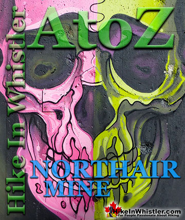
Northair Mine in the Callaghan Valley, Whistler
Northair Mine is a surreal little world of colourful murals on abandoned cement foundations, surrounded by an astoundingly tranquil little lake in a secluded forest. Just a short logging road off of the Callaghan Valley Road takes you to this unusual little abandoned mine. You would have driven by the turnoff if you have been to Whistler Olympic Park, which is just a couple kilometres away. Northair Mine gets its name from the Vancouver based mining company the Northair Group. The mine was in production from 1976 and extracted 5 tons of gold before being abandoned in 1982. Northair Mine is tricky to find and even when you near it, the turnoff is not obvious. However, once you find it, it is quite a sight. The area that encompasses Northair Mine is huge. About 2 kilometres long, edged by a cliff on one side and a beautiful lake on the other. A nice, smooth gravel road runs through the area, along the edge of the lake toward Whistler Olympic Park. Another gravel road runs through the massive cement foundations of what must have been quite a large building. Beautiful graffiti art covers some of the cement pilings and scattered remnants indicate that this skeleton of a building has been home to its share of gatherings since being abandoned.
Spectacular Mural by Kups at Northair Mine


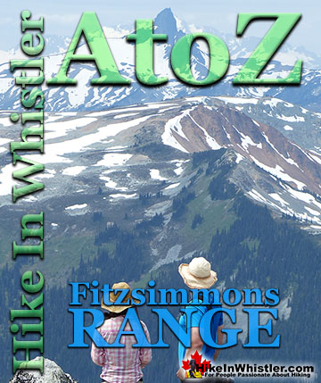
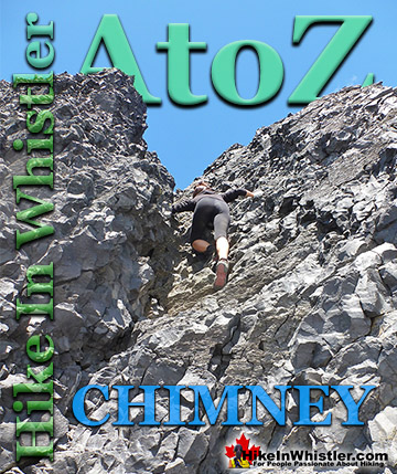
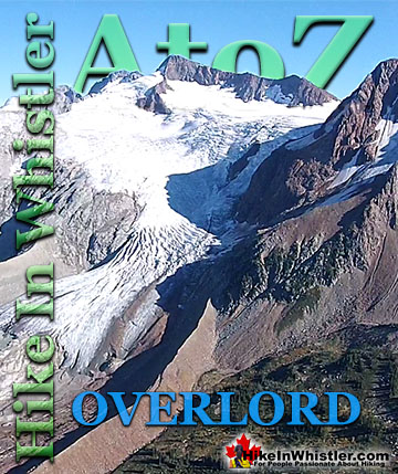
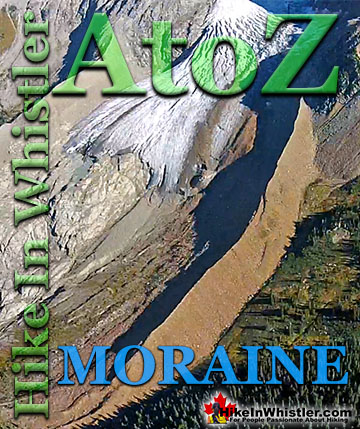
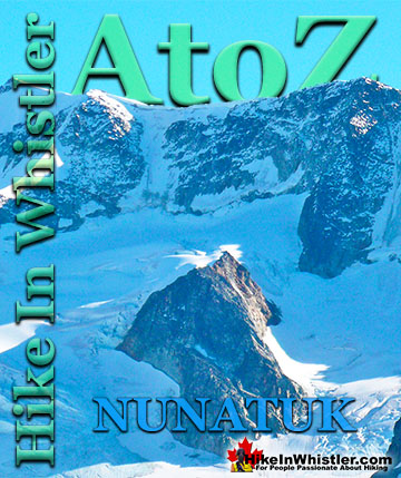
More Whistler & Garibaldi Park Hiking A to Z!

The Best Whistler & Garibaldi Park Hiking Trails!
Whistler & Garibaldi Park Best Hiking by Month!


Explore BC Hiking Destinations!

Whistler Hiking Trails

Squamish Hiking Trails

Vancouver Hiking Trails

Clayoquot Hiking Trails
Victoria Hiking Trails

