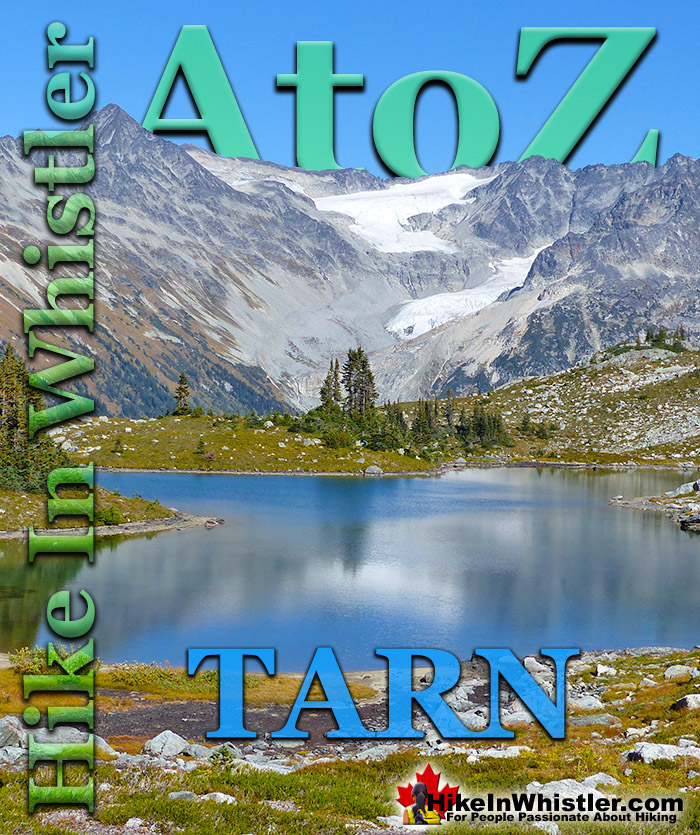
![]() Tarn: a small alpine lake. The word tarn originates from the Norse word tjorn which translates to English as pond. In the United Kingdom, tarn is widely used to refer to any small lake or pond. In British Columbia tarn is used specifically for small mountain lakes. Around Whistler tarns number in the hundreds and many are so small and/or hidden as to remain unnamed. Russet Lake in Garibaldi Provincial Park could be called a tarn, however its relatively large size dominates the area and the term lake seems more appropriate.
Tarn: a small alpine lake. The word tarn originates from the Norse word tjorn which translates to English as pond. In the United Kingdom, tarn is widely used to refer to any small lake or pond. In British Columbia tarn is used specifically for small mountain lakes. Around Whistler tarns number in the hundreds and many are so small and/or hidden as to remain unnamed. Russet Lake in Garibaldi Provincial Park could be called a tarn, however its relatively large size dominates the area and the term lake seems more appropriate.
Whistler & Garibaldi Hiking
![]() Alexander Falls
Alexander Falls ![]() Ancient Cedars
Ancient Cedars ![]() Black Tusk
Black Tusk ![]() Blackcomb Mountain
Blackcomb Mountain ![]() Brandywine Falls
Brandywine Falls ![]() Brandywine Meadows
Brandywine Meadows ![]() Brew Lake
Brew Lake ![]() Callaghan Lake
Callaghan Lake ![]() Cheakamus Lake
Cheakamus Lake ![]() Cheakamus River
Cheakamus River ![]() Cirque Lake
Cirque Lake ![]() Flank Trail
Flank Trail ![]() Garibaldi Lake
Garibaldi Lake ![]() Garibaldi Park
Garibaldi Park ![]() Helm Creek
Helm Creek ![]() Jane Lakes
Jane Lakes ![]() Joffre Lakes
Joffre Lakes ![]() Keyhole Hot Springs
Keyhole Hot Springs ![]() Logger’s Lake
Logger’s Lake ![]() Madeley Lake
Madeley Lake ![]() Meager Hot Springs
Meager Hot Springs ![]() Nairn Falls
Nairn Falls ![]() Newt Lake
Newt Lake ![]() Panorama Ridge
Panorama Ridge ![]() Parkhurst Ghost Town
Parkhurst Ghost Town ![]() Rainbow Falls
Rainbow Falls ![]() Rainbow Lake
Rainbow Lake ![]() Ring Lake
Ring Lake ![]() Russet Lake
Russet Lake ![]() Sea to Sky Trail
Sea to Sky Trail ![]() Skookumchuck Hot Springs
Skookumchuck Hot Springs ![]() Sloquet Hot Springs
Sloquet Hot Springs ![]() Sproatt East
Sproatt East ![]() Sproatt West
Sproatt West ![]() Taylor Meadows
Taylor Meadows ![]() Train Wreck
Train Wreck ![]() Wedgemount Lake
Wedgemount Lake ![]() Whistler Mountain
Whistler Mountain
![]() January
January ![]() February
February ![]() March
March ![]() April
April ![]() May
May ![]() June
June ![]() July
July ![]() August
August ![]() September
September ![]() October
October ![]() November
November ![]() December
December
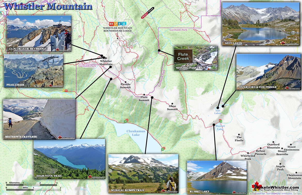
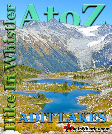
Near Russet Lake there are two beautifully characteristic tarns named Adit Lakes. Both lakes are small, shallow and have irregular shapes. The two lakes lay in quite a remarkable setting overlooking the valley separating the Fitzsimmons Range and the Spearhead Range. The image below shows the view across to the Spearhead Range. Tremor Mountain and Mount Macbeth are the two prominent peaks. The upper glacier flows from Tremor Mountain from the left and Quiver Peak and The Ripsaw from the right. The lower glacier is Curtain Glacier which disappears behind Mount Macbeth. Hundreds of tarns can be found in the mountains around Whistler and most are unnamed. Mount Sproatt, across the valley from Whistler Mountain is home to several stunning tarns. Owing to the broad and seemingly endless alpine terrain on Mount Sproatt, there are dozens of tarns. Tarns are by definition quite small and comparatively warm to swim in, unlike the brutally cold Garibaldi Lake, Wedgemount Lake, Cheakamus Lake and Green Lake. Though many hiking trails in Whistler and Garibaldi Park have become crowded in recent years, finding a beautiful tarn in the wilderness around Whistler is actually pretty easy. Having a serene and secluded tarn on top of a mountain all to yourself is pretty amazing.
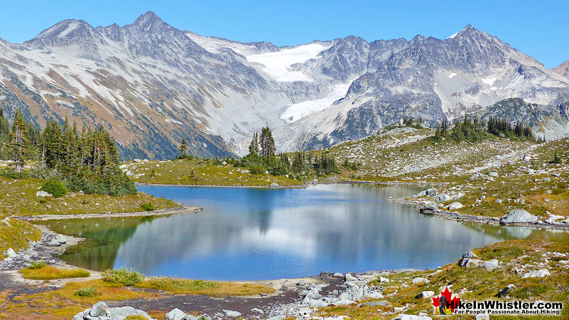
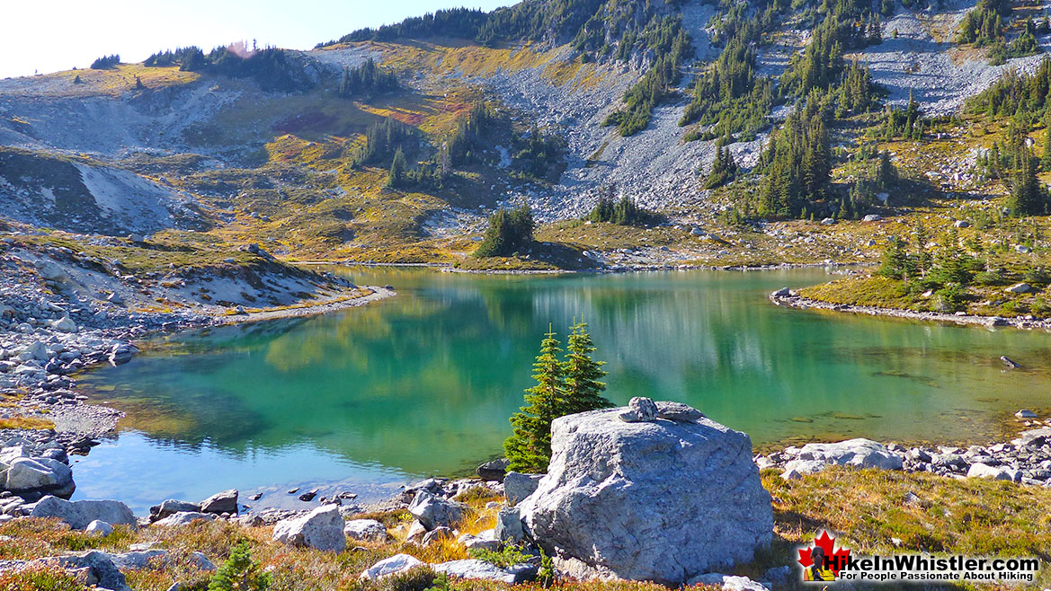
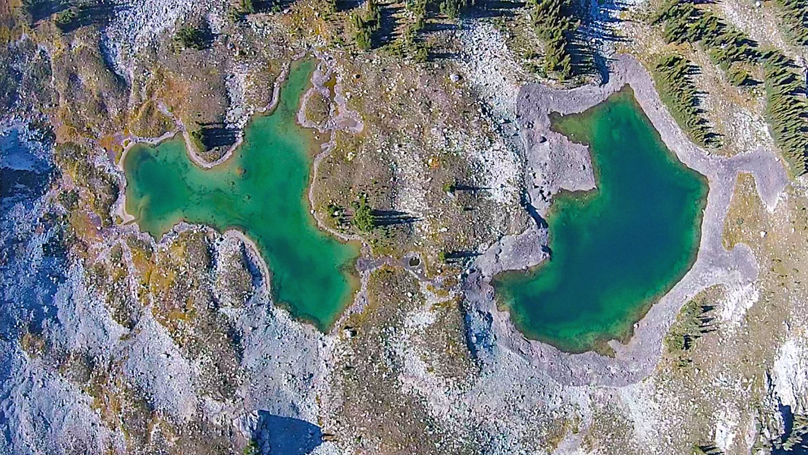
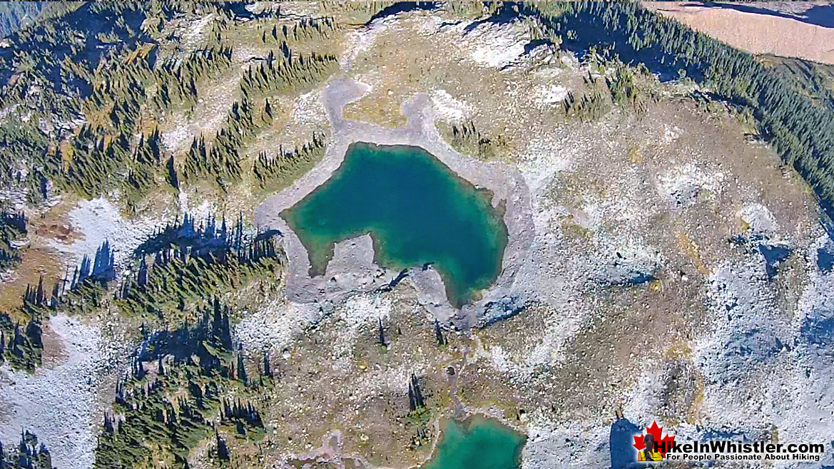
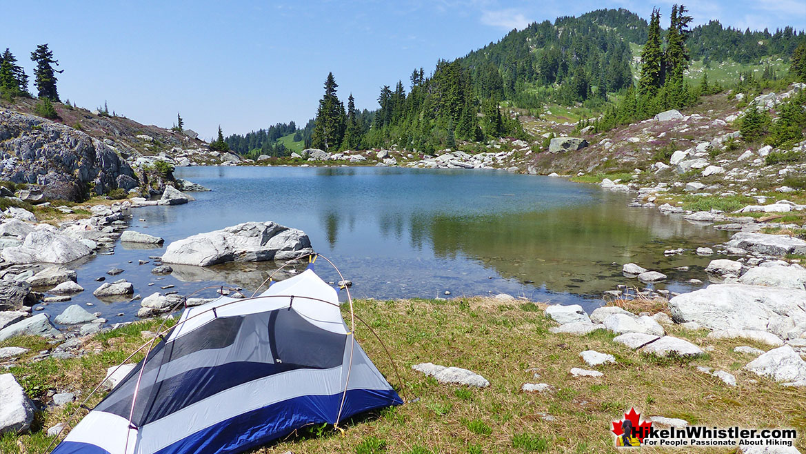
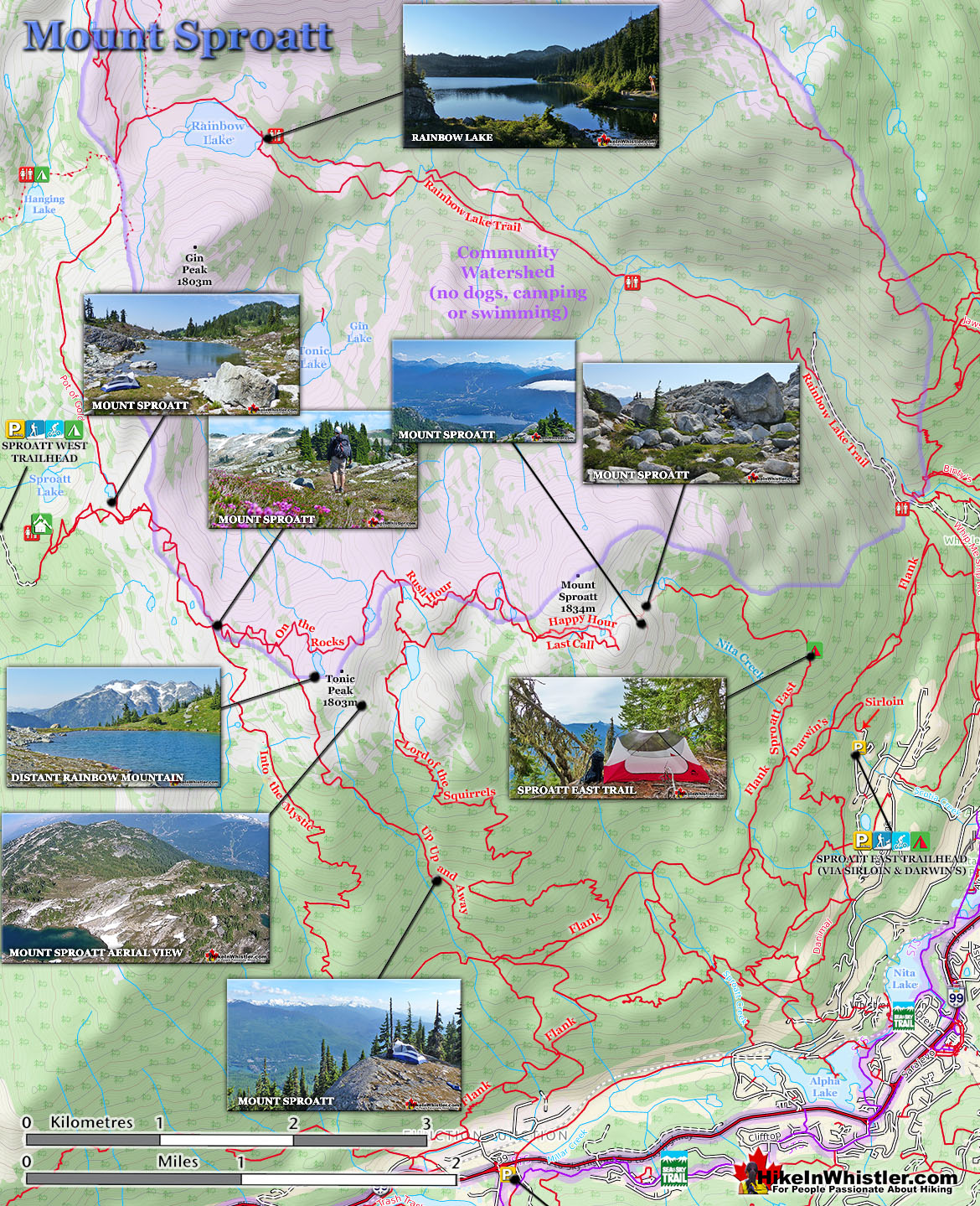
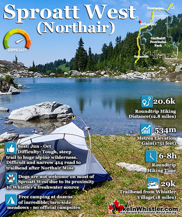
Finding a perfect paradise in the mountains around Whistler is not too difficult. This serene little tarn is on Mount Sproatt and just one of many found in the vast wilderness up there. The water temperature is far from cold due to the shallowness, only about 3 metres deep in the middle. Mount Sproatt is criss-crossed with several hiking and biking trails, which makes it reasonably accessible. It's vast area, however, makes it easy to find solitude and a perfect waterfront view for your tent.
More Whistler & Garibaldi Park Hiking A to Z!
The Best Whistler & Garibaldi Park Hiking Trails!
Whistler & Garibaldi Park Best Hiking by Month!

Explore BC Hiking Destinations!
Whistler Hiking Trails
Squamish Hiking Trails
Vancouver Hiking Trails

Clayoquot Hiking Trails

Victoria Hiking Trails
